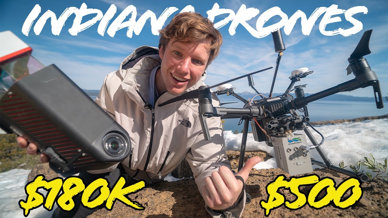
DJI released a new LiDAR sensor, the LiVOX. Lets go backpacking into the mountains with this new drone system and test it out!
LiDAR has been used to create highly detailed topography maps since the mid 1960’s. Today this tool is used on drones to rapidly create detailed terrain and bare earth 3D models. It is also gaining widespread popularity in the driver less car and robotics industry. Watch as Indiana Drones uses the new sensor from DJI to map a mountain in South Lake Tahoe
———————————-
Follow on instagram — http://bit.ly/2Qfjzp4
——————————————
Link to GreenValley LiDAR — http://bit.ly/2IJQttV




Hello, what did you use to match flightlines? what type of IMU does the system have? did you correct the lever arm GNSS antenna position? Oh god I have a lot of questions ajaj, cheers.
Awesome video ?
very Casey Neistat
Montage heaven!
Very nice video!
Will this work in my fish tank?
599 US dollar is only the price of the laser head Livox MID40. So LiAir V LiDAR system from Green Valley is really good option, but you have to be careful when compare LiDAR’s systems because the characteristics and performance are different in terms of range, density, returns, scan pattern, point rate, fov, precision and so on.
How many returns per pulse? I’d be interested to see some actual relative accuracy raster analysis of the flightline overlap.
Come along way from chillin in basements in Columbia =] I’ll throw ya a sub Harrison! Diggin’ the vids bud.
Hey, curious about what that data looks like- any chance you’d make LAS accessible?
Man, Lidar is $ 500, but the system will be more expensive when integrated.
It’s not from dji, they just sell it on their website… It’s from Livox and was released about a year ago…
How do you have $180,000 to spend on a LiDAR!!!
Great video! Can you advise a full pack UAS (like DJI + IMU + LiDAR etc.) with low-cost for mapping: ?