How to Get Speed and Altitude for a Drone with No Telemetry
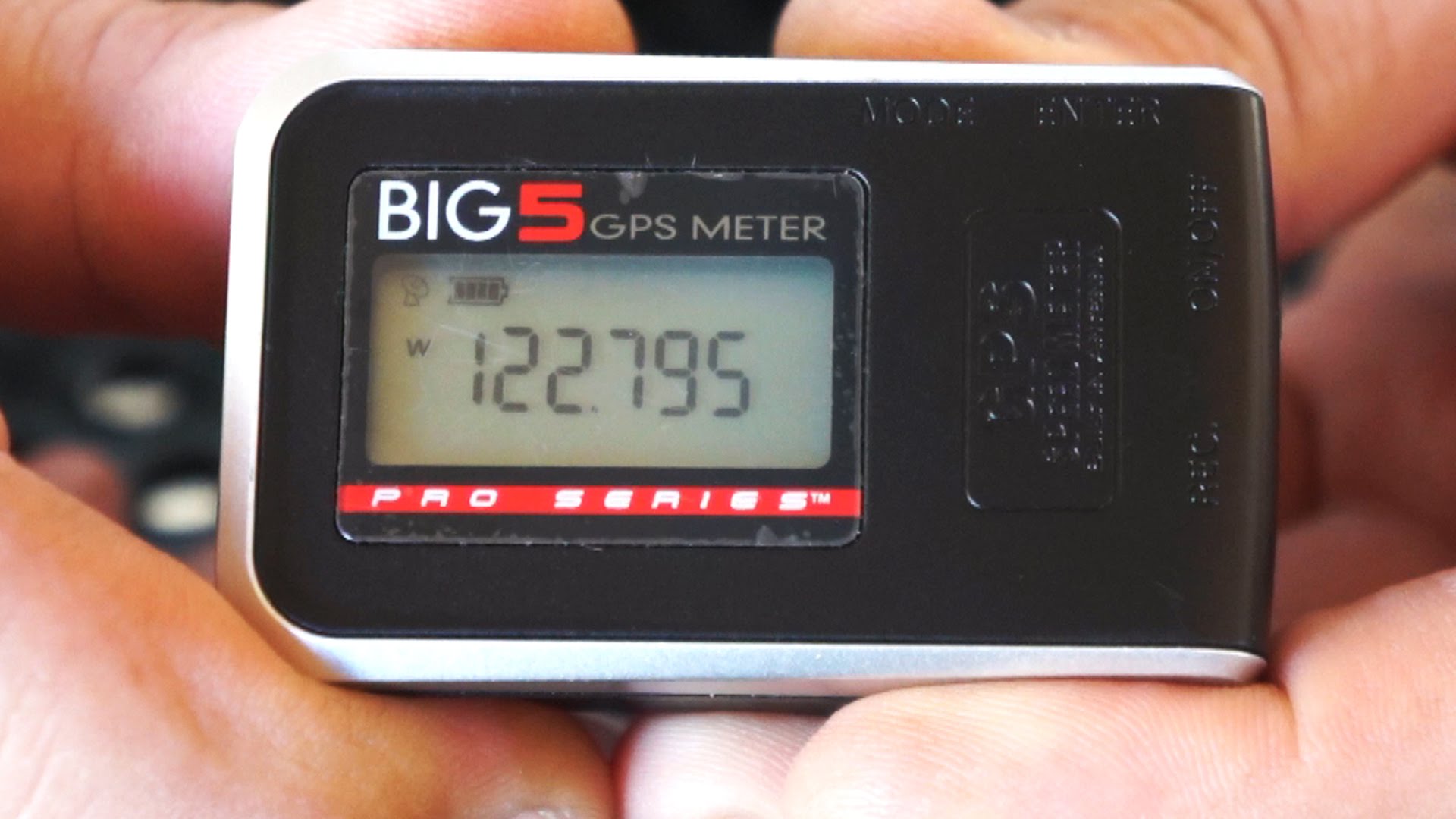
In this episode, the Roswell Flight Test Crew tests the “Big 5” GPS tracker, now available from Hobbico. Powered by an internal battery, the unit can be attached to a drone or other model aircraft and record GPS-based performance data at intervals as short as one second. This includes speed, altitude and location, and can be downloaded onto a computer via an included USB cable and plotted on a map or satellite image to show its movement. To test the accuracy and effectiveness of the Big 5, the crew tests two of the units against each other as well as comparing its results with a radar gun.



you can also do this with the Microsoft band but I’d expect the band is far
more expensive.
Them 2 things are very expensive. Big5 and the pocket radar. I just
strapped my garman to my quad ?
I’m guessing this has no Mac OS X software. If the communication protocol
is simple enough, one might be able to get the information anyway into a
text file.
One of the main perks of telemetry is to get this information via live
feed, but cool device nonetheless.