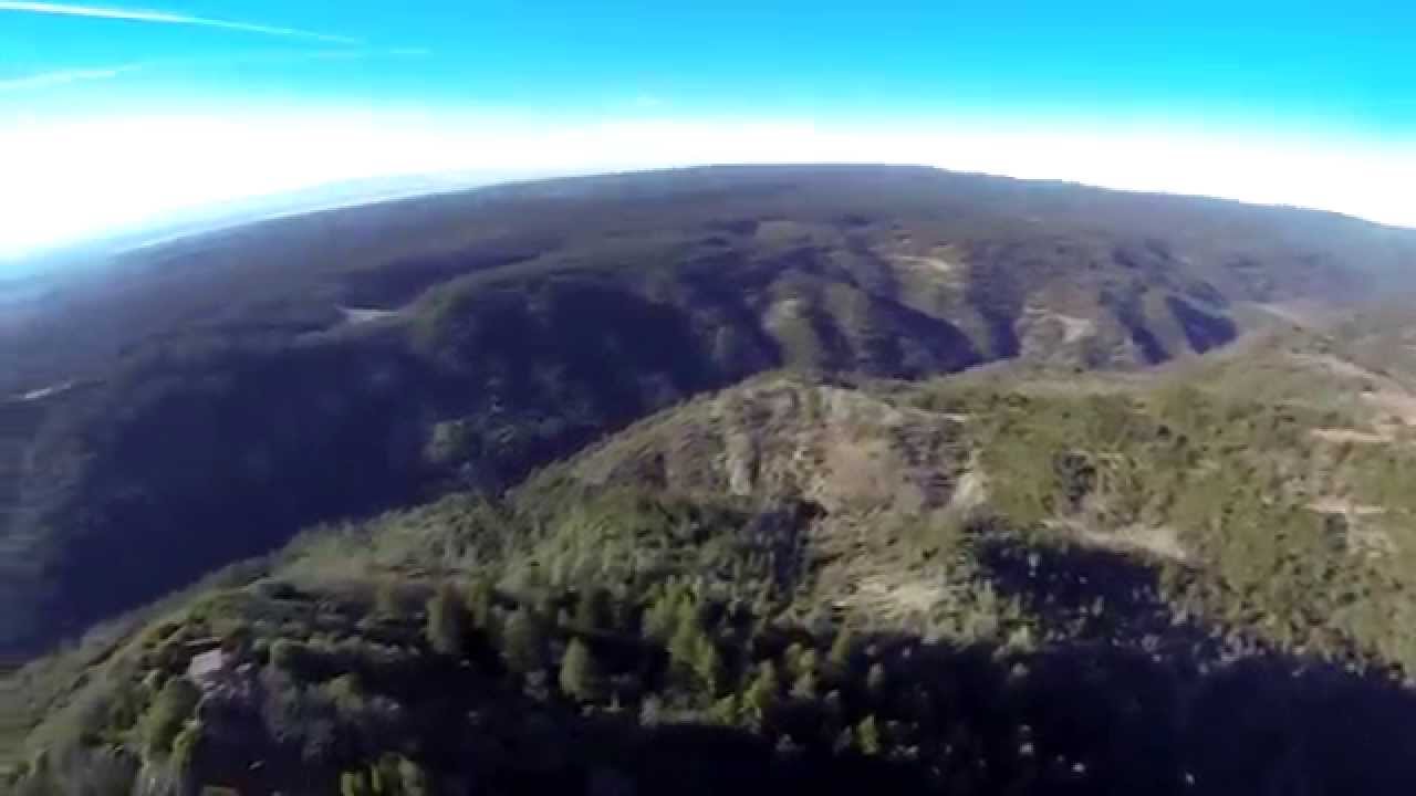
Flying around Sawmill peak and surrounding area In Northern California near the towns of Paradise and Magalia at the West Branch Feather canyon.
Please help support fire season staffing of the tower at sawmill peak
visit the link below to find out how to help
Video is several flights over a 3 day period.
The grainy footage with all the white numbers is what I see while I’m flying. The numbers are generated from a GPS unit (EzOSD) to help me navigate and let me know my fuel situation (Battery Power). Altitude is based from the takeoff point and with all the flying around hills it can go a little out of whack that’s why speed shows slow and altitude isn’t changing like crazy while falling down the hills. Distance seems to be fairly accurate.
The HD footage is Gopro footage recorded from the flight.
At the end of the video you can find information on what I used to fly this flight
HIGHLIGHTS
HD tower landing 3:38
Pilot view (OSD) 4:54
Tower landing pilot footage (OSD) 6:53
Fastest flight: 7:54
equipment used 9:20

Saved the Best for Last!!! Last video from my Christmas California trip.
I had to get up and re watch this video at 5:45 am.
Glad I made it interesting enough to keep people from sleeping
Great video and flying! I just started this hobby 3 months ago. My wife is
also very supportive.
Much success,
Cloud
Thanks, good luck to you too!
Woow nice video! I wouldn’t dare flying that far in a area were 1 glitch
would be fatal. Glad you didn’t thought like me;)
Yeah its a little scary. Its all hikeable to retrive it though. Glad you
enjoyed
very nice video, thank you
Thanks for watching
Nice video! I work in paradise and have been wanting to fly that area
myself… Do you live close?
Thanks! I Live up near Bend OR but, I have family that lives all around
Butte County so, I’m there sometimes. I thought it would be cool to fly
around the peak. I just Got a Discovery Pro a few months ago so I might
have to fly that hill again
very nice
Thanks
Absolutely gorgeous!!! What an awesome awesome video!!! I loved the
flight over the trees and down the hillside…the high altitude. Very
nicely done!!!
Glad you enjoyed. Thanks
Great work and flight! Know that area well. Beginner here. Saving up for a
much more reliable quadcopter. Keep doing what you do!
Thanks.
are you across the canyon when doing the hillside drops?
Yep I’m flying from the opposite side of the canyon. its off of coutolenc
road if you know the area. The whole video was shoot from me standing in
the same location
What kind of drone do you have?
+Weston F Mickey its in the tittle